Great Lakes data in your hands.
We are a nonprofit providing end-to-end data services that support science, policy, management, and industry in the U.S. and Canada.
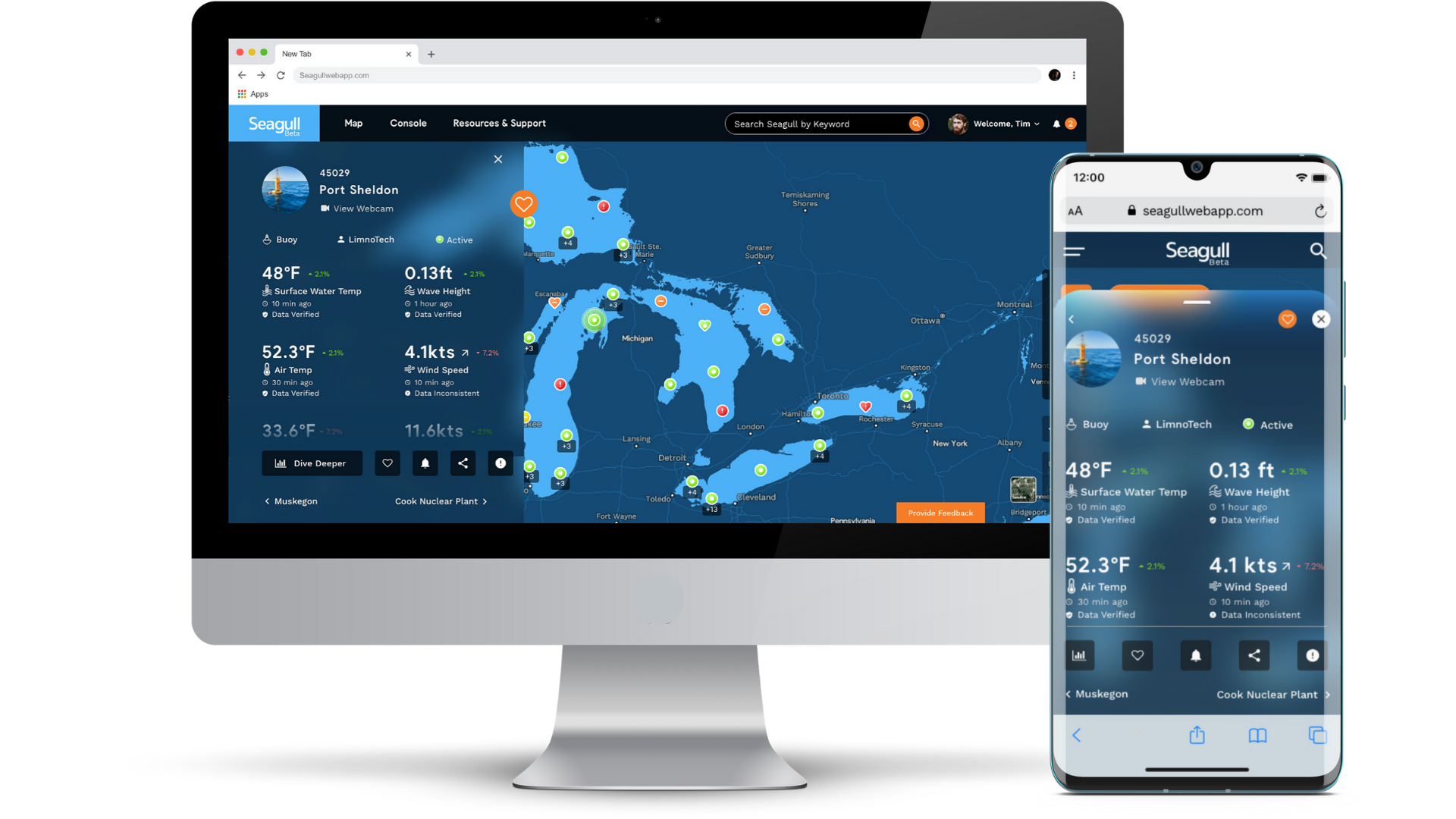
Seagull
A platform built for Great Lakes data and information
GLOS built Seagull to help connect people to the water like never before. A powerful, cloud-based platform, Seagull re-imagines how connected data becomes information and insights in peoples’ hands.
News + Events


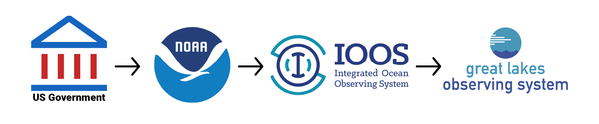
A 501(c)(3) nonprofit, GLOS is a certified regional association in NOAA’s Integrated Ocean Observing System (IOOS). IOOS is a NOAA-led program that serves as our eyes on the oceans, coasts, and Great Lakes. Learn more
Get our emails
📧 Monthly from your observing system